

October heatwave, but cooler temps on the horizon – Chris
Last Updated
Mid 80s in late October is WILD, and that’s what we dealt with this afternoon. Good Monday evening to one and all. If you’re looking for a cool crisp night, you’ll want to hold onto just a little bit of patience. I’m expecting partly cloudy skies tonight with temperatures remaining mild, only dipping into the […]


Meet Minnesota’s Weather Authority
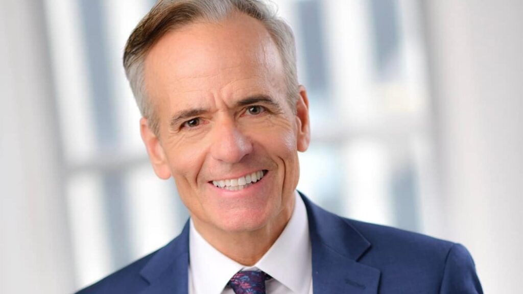
5 Eyewitness News named Ken Barlow as Chief Meteorologist in 2021. He returned to Minnesota in June 2011 after spending several years with WBZ-TV in Boston, MA. Ken brings more than 30 years of weather forecasting experience, including 25 years in Minnesota, to the station. Click for more.
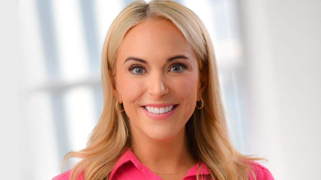
Evening Meteorologist Wren Clair joined the 5 Eyewitness News weather team in June, 2018. Wren began working nights with Meteorologist Dave Dahl, and since his retirement, now covers the evening newscasts that Meteorologist Dave Dahl used to cover for 5 Eyewitness News. Click for more.
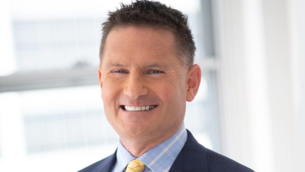
Jonathan joined the 5 EYEWITNESS NEWS weather team in August of 2011. He has been in the weather business over 30 years and has worked as a Meteorologist at KAAL in Austin/Rochester, KEYC in Mankato, KCRA in Sacramento and KARE in the Twin Cities. Click for more.
Matt joined the 5 Eyewitness News weather team in October 2021. Matt started his meteorology career a few hours east of The Cities in Rhinelander, Wisconsin. He is no stranger to the weather patterns of the Great Lakes! From there, his next job was at KETV in Omaha, Nebraska, where he was the morning meteorologist for nine years. Since everyone asks, his alarm went off at 1:40 AM for nearly a decade! Click for more.


Chris Reece joined 5 Eyewitness News as a meteorologist in late November of 2022. Chris began his meteorology career while still a college student at WBKO in Bowling Green, KY and most recently was the weekday morning meteorologist at WISC in Madison, WI where he received multiple awards, including a 2022 Emmy for outstanding craft achievement in on-air weathercasting. Click for more.