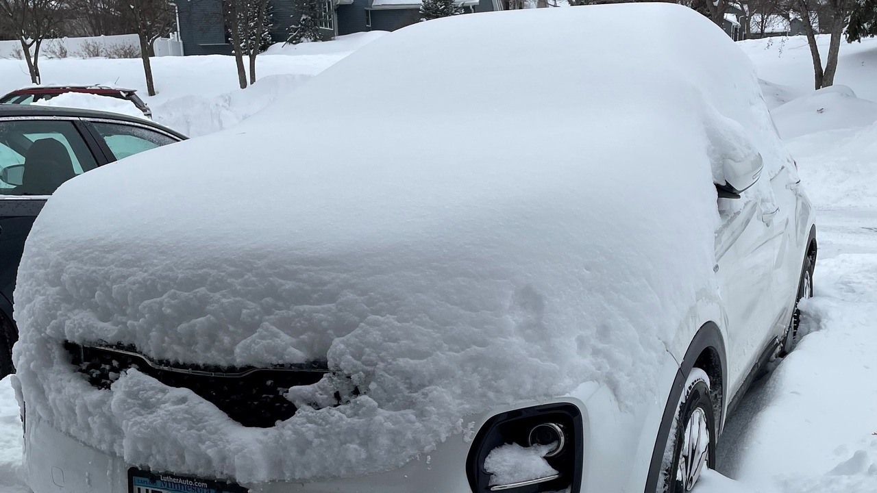
Snowfall totals: 19 inches in Apple Valley, over a foot in Twin Cities
[anvplayer video=”5164454″ station=”998122″]
Reports of snowfall totals continue to come in Thursday as the major winter storm keeps moving east, out of Minnesota.
The National Weather Service, however, has some reports from early Thursday morning showing snowfall across the area, although final totals likely won’t be set until Thursday afternoon or evening.
Here is a look at some of the snowfall reports as of around midday Thursday:
- Apple Valley – 19.3 inches
- Cambridge – 17 inches
- Northeast portion of Minneapolis – 16.7 inches
- North Branch – 15.9 inches
- Farmington – 15.8 inches
- Elko New Market – 15.5 inches
- Oakdale – 15.5 inches
- St. Joseph – 15 inches
- Jordan – 15 inches
- Bloomington – 14.5 inches
- Buffalo – 14.3 inches
- Chaska – 13.3 inches
- Minneapolis-St. Paul International Airport – 13.1 inches
- Inver Grove Heights – 12.5 inches
- St. Paul – 12 inches
- Deer Park, Wis. – 12 inches
- River Falls, Wis., – 11.2 inches
- Lindstrom – 10.5 inches
- Spring Valley, Wis. – 10.3 inches
- Shoreview – 10.1 inches
The highest snowfall total report across Minnesota and Wisconsin, as of Thursday morning, came from Benoit, Wis., up in the far northern part of the state, near Ashland, Wis., at 26 inches.
Minnesota’s Weather Authority says the snow will taper to flurries late Thursday morning before the storm moves out completely.
RELATED: Tough travel conditions as winter storm dies down
Snowfall in the Twin Cities (KSTP)
While strong wind could still create difficult driving conditions later in the day, gusts will drop from around 35 mph to 20 mph Thursday afternoon. However, it will likely take plow crews some time to get the roads cleared after the snow stops. And remember, many cities have snow emergencies in effect, which also means parking restrictions are in effect in many areas.
Click here to see the latest forecast. Send us your snow pictures here.