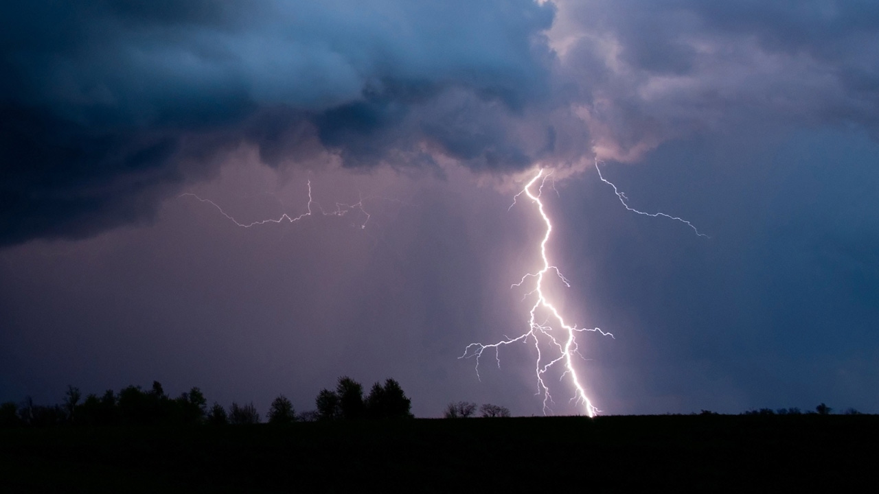
Storms reach Twin Cities, weather still in flux throughout the state
AFTERNOON UPDATE: Severe storms have reached the Twin Cities, including heavy rain, high winds and large hail.
The severe thunderstorm watch is still in effect through 2 p.m. in the Twin Cities, and a watch has been posted for parts of western Wisconsin through 7 p.m.
Find a list of current watches and warnings here.
As storms move out of the Twin Cities, 5 EYEWITNESS NEWS meteorologists remind people that conditions can change rapidly. Storms could continue through the evening.
MIDDAY UPDATE: 5 EYEWITNESS NEWS meteorologist Jonathan Yuhas tells people to prepare for rapidly changing conditions as severe storms move into the Twin Cities.
The National Weather Service has already reported 1-to-2-inch hail in storms west of the metro.
More information about severe weather in Minnesota and Wisconsin Saturday can be found in the initial report below.
MORNING REPORT: A severe thunderstorm watch is in effect for the Twin Cities area and beyond Saturday morning.
While the watch is set to expire for the metro at 2 p.m., severe weather is expected continue east, and more storms could move through in the evening.
5 EYEWITNESS NEWS meteorologist Jonathan Yuhas says the worst storms will likely begin around noon in the Twin Cities.

Heavy rain and flash flooding are also possible in affected areas, Yuhas warns.
Portions of Minnesota and Wisconsin could be affected throughout Saturday; the National Weather Service says damaging winds, some tornadoes and large hail are possible across the northern Midwest.
Southern parts of Minnesota and Wisconsin are included in the “enhanced risk” portion of today’s outlook.
See a list of current watches and warnings here. Monitor wind speeds here. Find a range of safety tips from our meteorologists here.
If you are able to safely take photos of today’s severe weather or any storm-related damage, you can submit them at this link.