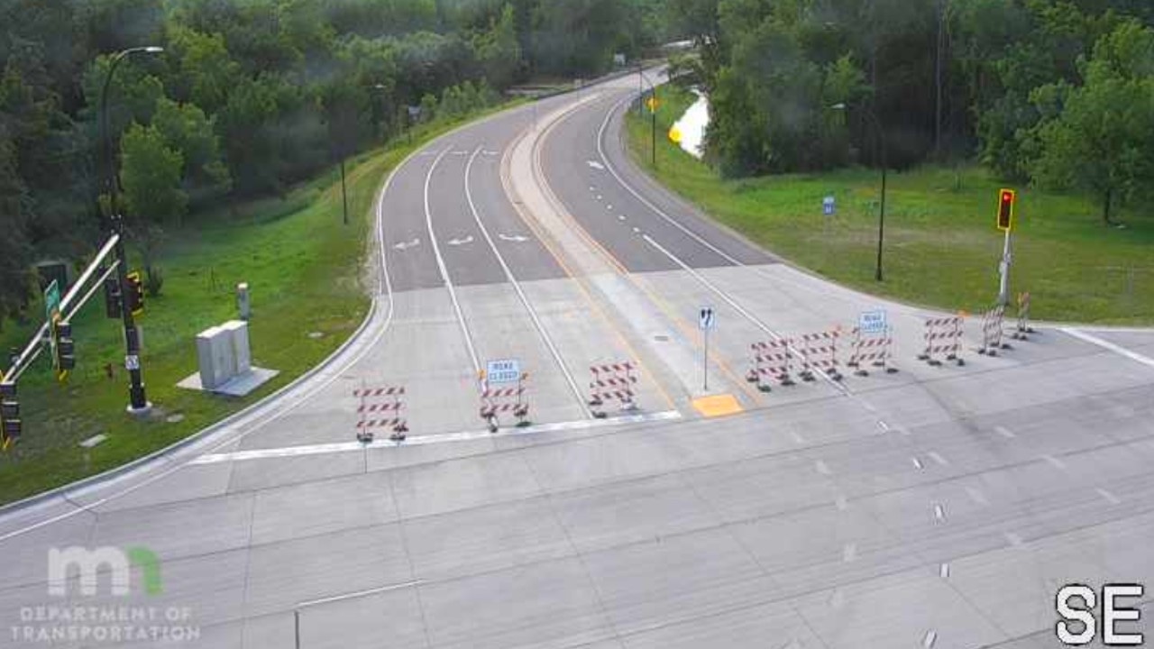
Highway 169 closed from Le Sueur to St. Peter, state of emergency declared due to flooding

A MnDOT traffic camera shows road closed signs in southern Minnesota along Highway 169.
Le Sueur County declared a state of emergency on Tuesday due to flooding.
The county said that the declaration follows a three-day state of emergency submitted on Thursday and the Sheriff’s Office request for assistance from the National Guard on Saturday. The county started getting help from the National Guard on Monday.
The county’s State of Emergency Declaration was sent to the state to begin the process of requesting a Federal Emergency Management Agency declaration so the county can potentially receive federal disaster relief.
Roads across southern and central Minnesota are continuing to be impacted by rising rivers and flooding.
On Tuesday morning, the state’s Department of Transportation (MnDOT) announced Highway 169 has been closed from Le Sueur to Highway 22/Dodd Road in St. Peter. That closure is in addition to the one posted for Highway 99 south of St. Peter to Mankato.
Traffic is being sent to County Roads 8, 20, 5, 40, Highway 99, County Road 13 and Highway 14 as a detour, according to MnDOT officials.
Anyone needing to know current traffic conditions and closures can find them by using the interactive traffic map shown at the bottom of this article.
Roads and bridges will be monitored by MnDOT, and workers will reopen them as soon as they are considered safe.
MnDOT has also announced the following closures and/or restrictions for that part of the state:
- Highway 60 in Windom
- Northbound Highway 169 from the north end of St. Peter to south of Le Sueur
- Highway 62 in windom
- Highway 22 south of St. Peter to Kasota
- All entrance and exit ramps on Highway 169/60 to the Lookout Drive/Center Street area in Mankato/North Mankato are closed
- Highway 99 bridge and highway are closed in St. Peter
- Highway 15 north of Madelia
- Highay 71 in Jackson
- Highway 62 east of Fulda
- Highway 22 south of Kasota
- Highway 93 between Highway 169 and Le Sueur
- Highway 14 near Janesville
- Highway 60 north of Heron Lake to Worthington
- Highway 30 east of Mapleton
- Highway 13 in Waterville
- Highway 19 east of Henderson
In St. Paul, the Mississippi River is spilling onto the bandshell on Raspberry Island, causing the city to issue closures along Shepard and Warner roads. In addition, Water Street on the city’s south side is also closed.
Meanwhile, in Dakota County, officials there are closing multiple parks due to flooding, including the Minnesota and Mississippi River Greenways. Other parks that are closed include Lake Byllesby Regional Park and Miesville Ravine Park Reserve, which will be closed until floodwaters recede.
Although Tuesday and Wednesday will be dry, storms are possible Thursday and Friday, before dry conditions once again move in for the weekend. CLICK HERE for the latest forecast.