WINTER STORM WATCH: Storm system containing mixed precipitation could drop 3-6 inches of snow in metro by Friday night
[anvplayer video=”4998733″ station=”998122″]
Minnesotans might want to prepare for some messy driving conditions and snow accumulation from an expected snowstorm system moving through the state Thursday into Friday.
KSTP Meteorologist Wren Clair said the storm system, which will move southeast from Canada, will make its way into the metro area Thursday morning, starting with some light freezing rain/drizzle and turning into snow. Clair said drivers will mostly experience wet roads during the morning commute and slick spots will be likely throughout the day. The temperature will hover around 32 degrees and any snow accumulation less than 1 inch through 10 a.m. Thursday.
Then, snow mixed with freezing drizzle is expected to fall Thursday afternoon into the night, with 1-3 inches of snow accumulation likely.
Friday is expected to arrive with more snowfall and freezing drizzle at times, plus stronger winds, particularly west of the Twin Cities.
Clair said snow will taper to flurries by early Saturday morning, with total snowfall in Twin Cities Thursday through Friday night amounting to 3-6 inches, with isolated 8-inch amounts.
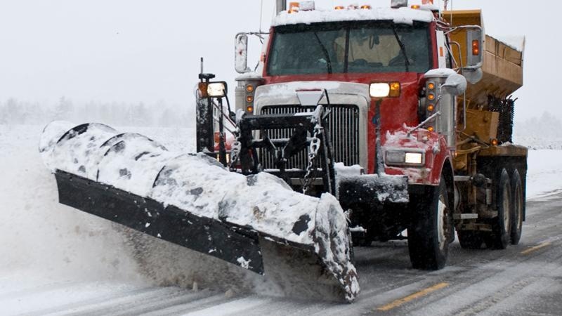
Clair added to expect wet and icy road conditions for the rush hour commutes Thursday morning, Thursday evening, Friday morning and Friday evening.
KSTP’s complete winter weather guide
The National Weather Service, meanwhile, issued a winter storm watch for dozens of counties, from early Thursday until Friday evening.