How much ice and snow did you receive this weekend? NWS reports totals

Credit: 5 EYEWITNESS NEWS/Jim O'Connell
Depending on where you live in the metro area, you may have woken up to anywhere from 1-6 inches of snow Sunday. That snow was on top of a layer of ice, causing roads to be slippery throughout the morning hours.
According to the National Weather Service (NWS), some areas of Minnesota saw up to 1/4 inch of ice.
Between midnight and 1:30 a.m. a snow band over the Twin Cities area dropped 2.7 inches, with snow rates of near 2 inches per hour.
The Minnesota State Patrol says troopers responded to 92 crashes between 9 p.m. Saturday to 11 a.m. Sunday across the state.
Of those, 11 crashes involved injuries, however, none were considered serious or fatal. There were an additional 92 spinouts and three jackknifed semis reported.
The NWS in Chanhassen received the following snowfall reports from Saturday into Sunday. Totals are broken down first by county, then city. CLICK HERE for more snow totals from the NWS.
Anoka
- Blaine – 5.5 inches
- Fridley – 5.1 inches
- Anoka – 4.5 inches
- Coon Rapids – 4.5 inches
- Centerville – 4.0 inches
- Coon Rapids – 4.0 inches
- Wyoming – 3.0 inches
- Nowthen – 2.2 inches
- Ramsey – 2.0 inches
Carver
- Excelsior – 5.9 inches
- Victoria – 4.2 inches
- Watertown – 4.0 inches
- Chanhassen – 3.1 inches
- Chaska – 2.4 inches
- Carver – 1.3 inches
Chippewa
- Montevideo – 1.5 inches
Chisago
- Chisago City – 5.0 inches
- Lindstrom – 4.0 inches
- Stacy – 3.6 inches
- Rush City – 3.2 inches
- North Branch – 3.0 inches
Dakota
- Eagan – 2.0 inches
- Apple Valley – 1.5 inches
- Rosemount – 1.5 inches
- Inver Grove Heights – 1.1 inches
- Hastings – 1.0 inches
Hennepin
- Maple Plain – 6.0 inches
- Hopkins – 6.0 inches
- Excelsior – 6.0 inches
- Minnetonka – 5.9 inches
- St. Louis Park – 5.6 inches
- Minneapolis – 5.5 inches
- Robbinsdale – 5.4 inches
- Corcoran – 5.0 inches
- Plymouth – 5.0 inches
- Richfield – 4.1 inches
- Edina – 4.1 inches
- Osseo – 4.0 inches
- Brooklyn Center – 4.0 inches
- Maple Grove – 3.8 inches
- Edina – 3.5 inches
- MSP Airport – 3.3 inches
- Champlin – 3.3 inches
- St. Bonifacius – 3.0 inches
- Rogers – 2.9 inches
- Bloomington – 1.8 inches
Isanti
- Braham – 2.0 inches
- Cambridge – 1.0 inches
- Isanti – 0.9 inches
Kanabec
- Mora – 4.0 inches
Kandiyohi
- Prinsburg – 2.8 inches
- Willmar – 2.7 inches
Lac qui Parle
- Dawson – 1.0 inches
Le Sueur
- Le Center – 1.2 inches
McLeod
- Hutchinson – 3.6 inches
- Silver Lake – 3.3 inches
- Glencoe – 3.0 inches
- Hutchinson – 2.0 inches
Mille Lacs
- Milaca – 2.2 inches
Pierce
- Ellsworth – 1.5 inches
Polk
- Balsam Lake – 3.7 inches
Ramsey
- Falcon Heights – 5.5 inches
- St. Paul – 5.5 inches
- Roseville – 5.0 inches
- North St. Paul – 4.5 inches
- Mendota Heights – 3.8 inches
- Shoreview – 3.3 inches
- Maplewood – 1.5 inches
Redwood
- Redwood Falls – 2.6 inches
Renville
- Bird Island – 1.5 inches
- Lake Lillian – 1.0 inches
Scott
- Shakopee – 3.0 inches
- Prior Lake – 1.0 inches
Sherburne
- Big Lake – 3.1 inches
- Orrock – 1.5 inches
Sibley
- Winthrop – 2.0 inches
St. Croix
- New Richmond – 1.8 inches
- Clear Lake – 1.0 inches
Stearns
- St. Augusta – 3.0 inches
- St. Cloud – 2.5 inches
- Kimball – 2.5 inches
- St. Joseph – 1.5 inches
- Paynesville – 1.5 inches
- Sartell – 0.9 inches
Washington
- forest Lake – 5.0 inches
- Stillwater – 4.0 inches
- Oakdale – 3.5 inches
- Woodbury – 2.5 inches
- St. Paul Park – 1.4 inches
- Afton – 1.0 inches
Wright
- Maple Lake – 2.7 inches
- Buffalo – 2.5 inches
- Montrose – 2.0 inches
Meteorologist Jonathan Yuhas says Excelsior received 6 inches of snow, while 2 inches fell in Woodbury.
Meanwhile, Meteorologist Matt Serwe says he received about one-tenth of ice in Hugo Saturday.
The NWS created an interactive map showing the snowfall reports. CLICK HERE to access that map.
Some of the snow and ice the area received will melt Monday and Tuesday, but temperatures will dip down into the 20s later this week, and overnight lows will fall into the single digits. You can find the latest forecast for your area by CLICKING HERE.
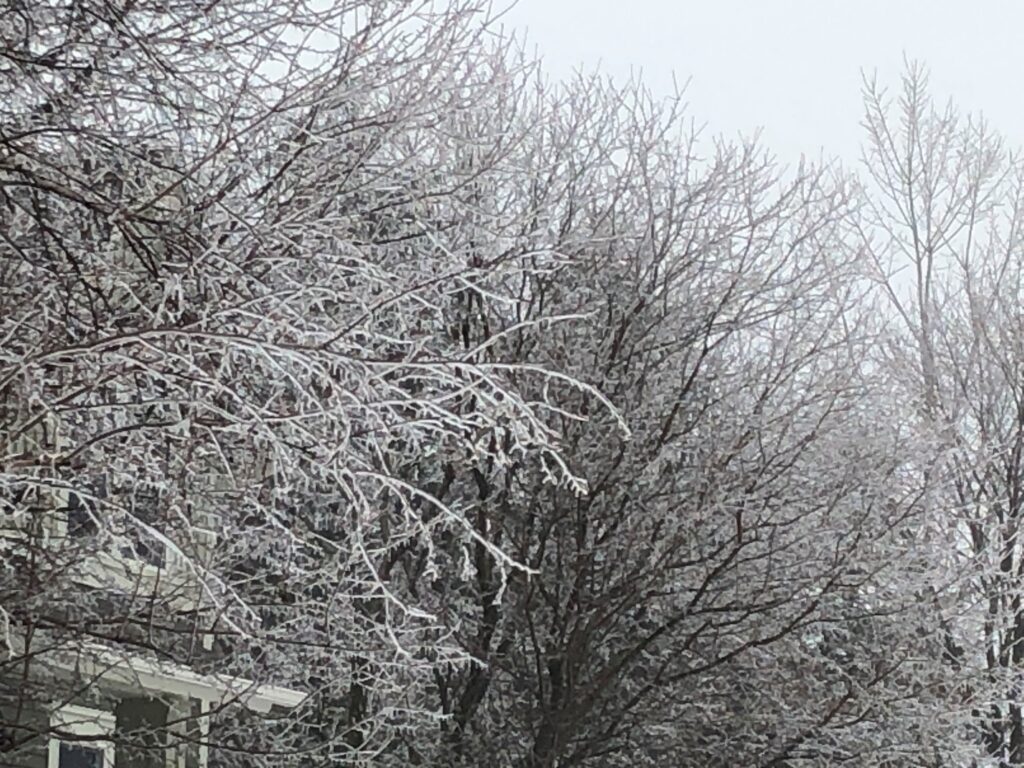
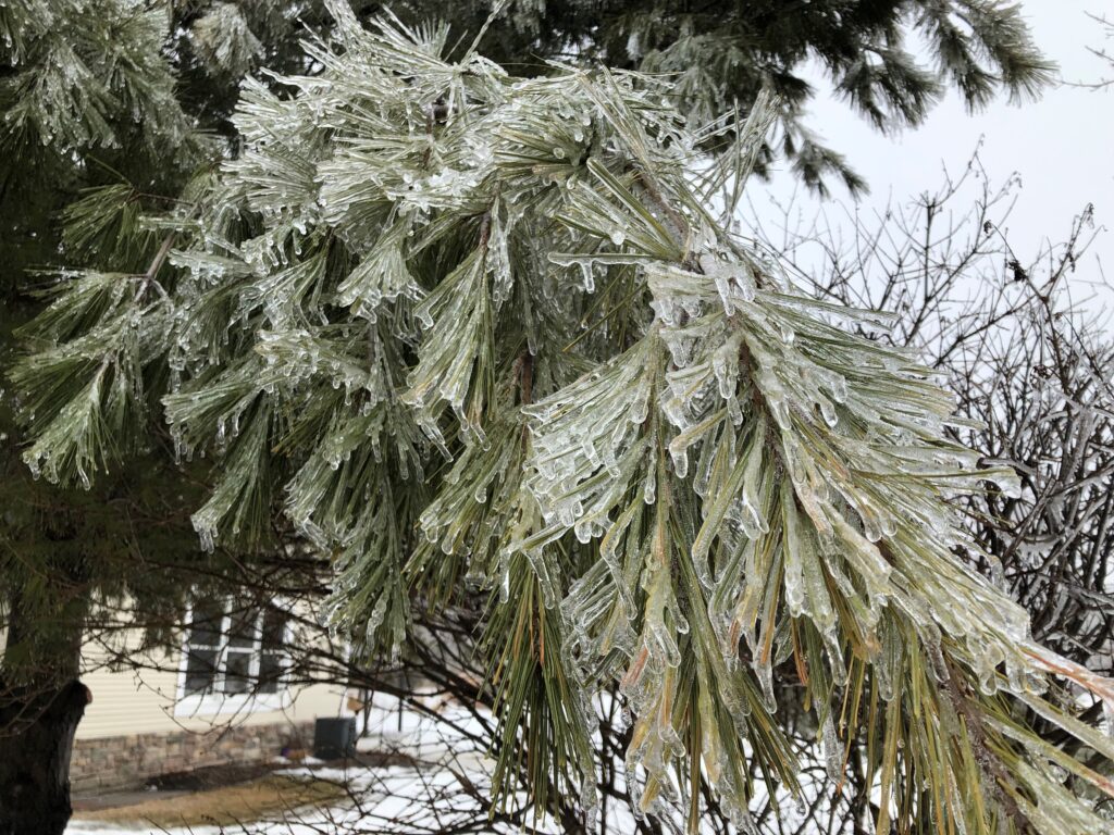
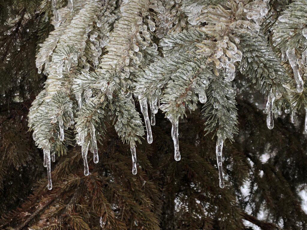
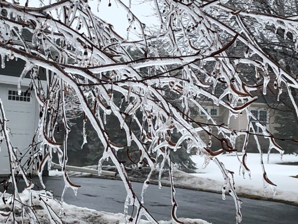
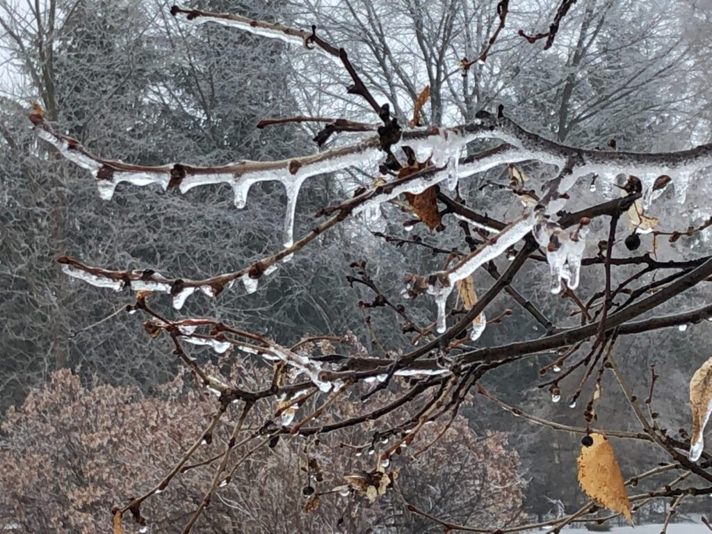
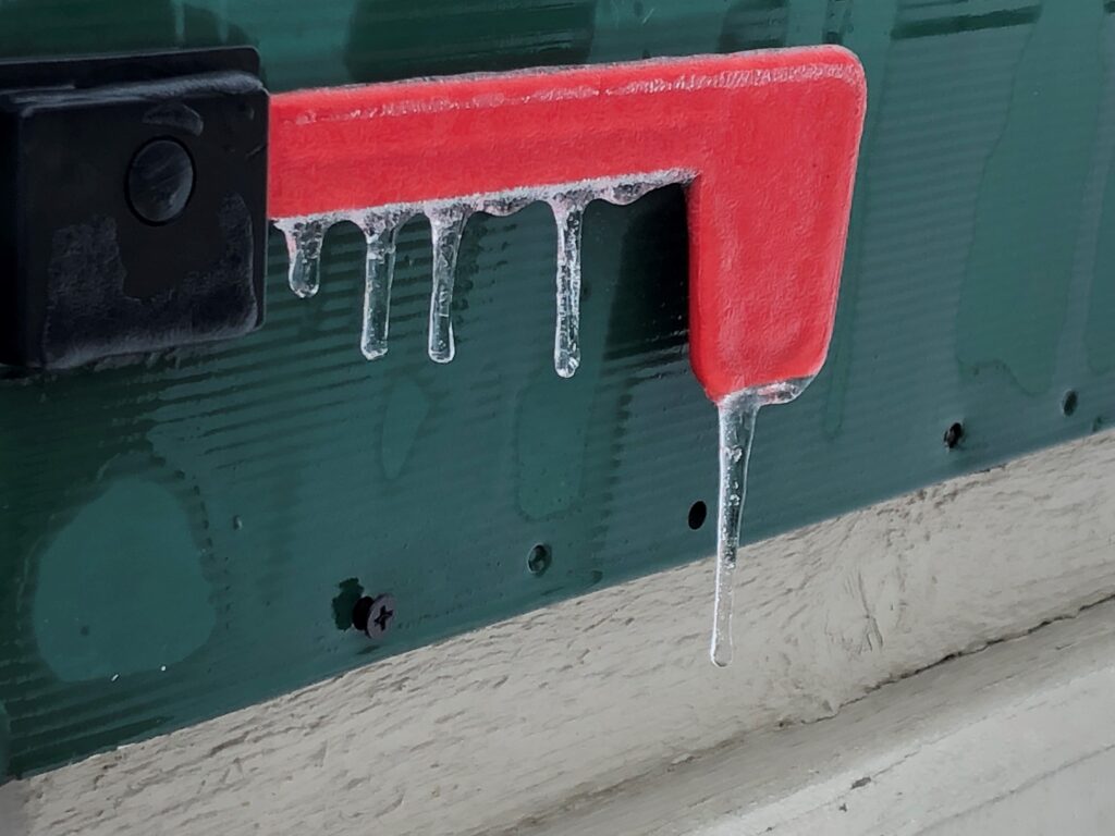
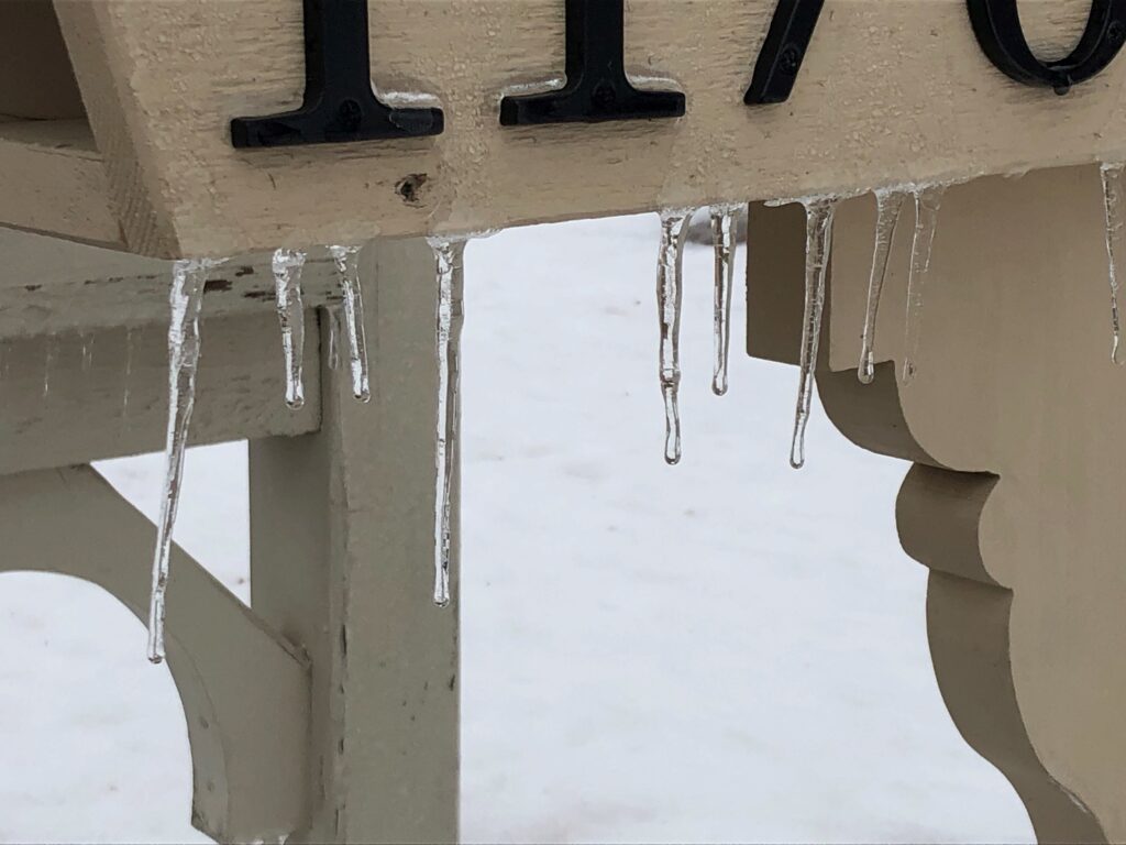
Check out some of the icy photos captured this weekend by 5 EYEWITNESS NEWS photographer Jim O’Connell below. Have weather pictures or videos you want to share with our team? CLICK HERE to send them in.

Credit: 5 EYEWITNESS NEWS/Jim O’Connell