Flurries today and Saturday, then a sunny Sunday and near 40 degrees Monday and Tuesday
The low this morning in the Twin Cities was -1 below the 15th time this winter below zero and the coldest morning so far has been -19 below this past Tuesday (Jan-21). Last winter (2023/24) the temperature dipped below zero 6 times with the coldest readings -8 below on Jan-14 and Jan-15, 2024.
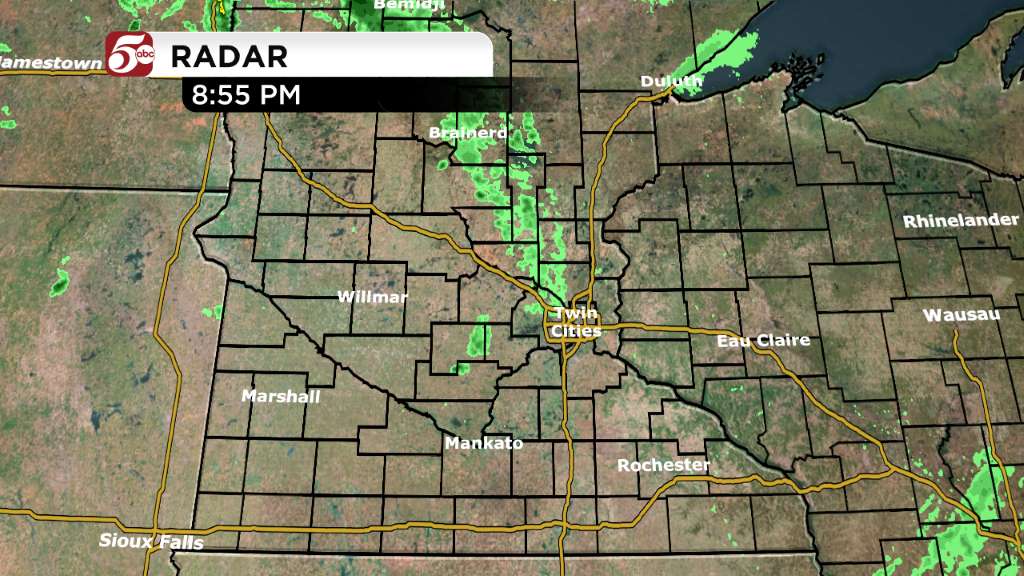
Today’s weather brings mainly cloudy skies with flurries at times this afternoon and highs in the mid 20s with south winds at 5-15 mph. Cloudy with flurries tonight with west winds at 5-10 mph and lows in the low 20s by sunrise (7:39 a.m.) Saturday.
Mainly cloudy on Saturday with peeks of sun and snow flurries at times – it will be windy on Saturday with west-northwest winds at 10-20 mph producing brisk conditions with highs in the mid to upper 20s and wind-chills in the mid-teens. Decreasing clouds and colder Saturday night with lows near 10 degrees by Sunday morning.
Sunday will be the nicer day this weekend to be outside with lighter winds, sunshine and high temperatures near 30 degrees Sunday afternoon. Clear skies Sunday night with lows in the low to mid 20s by Monday morning.
Sunny to partly cloudy, breezy and warmer on Monday with highs near 40 degrees. Sunshine and mild again Tuesday with highs near 40 degrees then a bit colder on Wednesday with highs in the low 30s then warming to near 40 degrees by Thursday.
Mix of rain and snow possible Friday January 31 with potential for some snow accumulation especially in areas of the eastern Dakotas, western Minnesota and northern Minnesota. JONATHAN YUHAS