A little more snow out west Friday
Here’s your Friday afternoon forecast for April 4, 2025, from Meteorologist Matt Serwe.
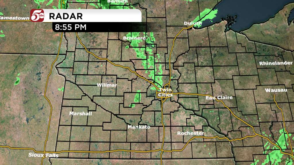
A cold front is moving across Minnesota today. In the Twin Cities, we will mainly see clouds and eventually some light sprinkles Friday evening. Farther west, up to an inch of slush is possible from Morris through Bemidji and Hibbing.
Behind the front, Saturday will be chilly. Highs around the stay stay in the upper 30s and low 40s. Sunday is your day to get outside, although highs stay in the low 40s up north. From the Twin Cities to the south, highs reach the low 50s Sunday afternoon.
Another cold front drops south Sunday afternoon and evening. Temperatures drop into the 30s and 40s once again Monday. There is some warm spring weather in sight! You just have to be a little patient. 60s return by Wednesday and Thursday, along with more light rain chances.

