Snow falling across central Minnesota, freezing rain expected in south metro Monday night
[anvplayer video=”5091140″ station=”998122″]
Winter Storm Warnings and Winter Weather Advisories are in effect Monday across a large portion of the 5 EYEWITNESS NEWS viewing area.
Heavy snow is expected to fall across central Minnesota and northern Wisconsin Monday, and then be followed by more snow through Tuesday. The National Weather Service says the heaviest snow will fall along a line that runs east to west across central Minnesota and into the northern part of the state.
CLICK HERE for an updated list of warnings and advisories.
The line, which is forecasted to run from Madison to St. Cloud to Hayward, could see snowfall totals ranging from 10-14″. However, other areas will see 3-6″ of snow from Monday night through Tuesday.
The Minnesota State Patrol says winds are picking up, and there are several reports of vehicles sliding off the road.
There is also a possibility for an icy mix to develop across southern Minnesota late Monday. Wind speeds of 20-25 miles per hour are expected, and will cause blowing and drifting snow.
5 EYEWITNESS NEWS meteorologist Jonathan Yuhas says freezing rain will develop after 6 p.m. Monday for areas in the south metro and south of the Minnesota River.
The Minnesota Department of Transportation (MnDOT) reported visibility was down to half a mile or less in the western part of the state Monday morning. In addition, multiple vehicle spinouts were reported by 511, and roads across central and north-central Minnesota were listed as either partially or completely covered with snow.

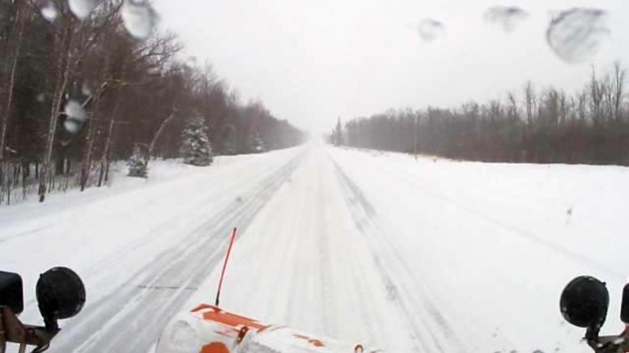
A MnDOT plow camera shows snow-covered roads just south of Warman at 2:50 p.m. on Feb. 21, 2022. (MnDOT)
“This is going to be one of those that we’ve got to wait it out,” said Anne Meyer of MnDOT. “Give us some time, we will certainly get roads back in the clear but we’ve got some elements that are working against us, and that’s a heavy amount of snow, that’s cold temperatures so our materials don’t work as well, and of course the wind is going to blow things back onto the highways.”
Meyer says it’s going to take longer for materials such as brine and salt to work when temperatures are below 15 degrees, and those temperatures are expected Monday night and into Tuesday morning.
Late Monday morning, MnDOT listed I-35 from Forest Lake north as either being partially or completely snow covered, as well as I-94 from St. Cloud west.
5 EYEWITNESS NEWS Chief Meteorologist Ken Barlow says a large part of the Twin Cities metro area is under a Winter Storm Warning, however that goes into effect Monday night at 8 p.m., and lasts through 6 p.m. Tuesday.
The metro area will see a larger impact on Tuesday, during both the morning and evening commutes.
“Tuesday morning’s commute might be real tricky for folks,” said Meyer. “Make sure you’re planning ahead, giving yourself extra time to travel because we know it might still be slick out there at that time, so whatever you can do to slow down, stay off the roads, it just helps everybody out.”
Although the temperatures have been cold for the past month or so, the state hasn’t seen a lot of winter storms during that same timeframe. Instead, there were smaller snow events.
“This is a pretty sizeable storm. Something we haven’t seen for several weeks, so anyone driving in those areas that’s going to see heavier amounts of snow…anywhere from four to a foot of snow. That’s really going to be challenging in those locations,” said Meyer.
Find information on local snow emergencies here.
A handful of school districts announced closures Monday due to the weather. Check for a full list by clicking here.
As always, you can find your latest forecast by CLICKING HERE, and the interactive radar by CLICKING HERE.