Winter storm to move into region Monday, worst conditions expected Tuesday
[anvplayer video=”5155479″ station=”998122″]
A winter storm is moving across the Midwest and is expected to start moving into Minnesota Monday. Depending on where you live, you could see many types of precipitation.
Winter storm warnings are in effect starting at 9 p.m. Monday and last through Tuesday. In addition to snowfall, ice accumulations may measure up to a quarter of an inch. CLICK HERE for a full list of severe weather alerts.
While the worst of the storm is expected to be Tuesday, 5 EYEWITNESS NEWS meteorologist Jonathan Yuhas says there will be some light snow and freezing drizzle Monday that is expected to be more widespread during the evening hours.
CLICK HERE for an interactive radar and HERE for tips on preparing for winter weather.
Heavier snow is expected Monday across southwest Minnesota, and freezing rain will be more widespread during the overnight hours into Tuesday from Mankato to Hastings, as well as southern Minnesota.
In the Twin Cities, there will be snow and freezing rain Tuesday, with ice accumulation in the southern suburbs and areas south of the downtown areas, according to Yuhas. He adds that heavier snow is expected in the northwest suburbs.
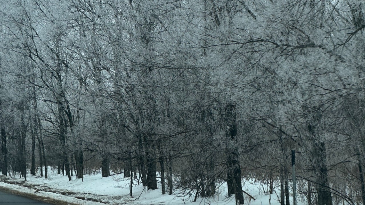
Ice-covered trees on the morning of Jan. 2, 2023. Credit: KSTP/Matt Serwe
Snow accumulation in the Twin Cities is expected to be in the range of 4-8 inches Tuesday, with an additional 2-3 inches of snow Wednesday. The highest totals are expected to be west of downtown Minneapolis.
Keep in mind, power outages will also be possible due to the ice and snow. CLICK HERE for a list of major utility companies across the state and links to their outage maps.
The latest forecast can be found by CLICKING HERE. Weather photos and videos can be submitted to 5 EYEWITNESS NEWS by CLICKING HERE.