Mix of sun, rain in the metro; tornado watch issued for parts of western Minnesota, Dakotas
[anvplayer video=”5104342″ station=”998122″]
Saturday began with some brief sunshine before rain moved in and there is a chance for severe weather.
Meteorologist Brandon Weatherz reported that Saturday saw a few peeks of sun and will see strong south winds gusting over 50 mph at times, particularly in southern and western parts of the state.
Temperatures are expected to rise into the mid and upper 70s across southern Minnesota. The middle of the state should reach the low 70s, and 60s up north.
Weatherz reported a morning line of storms moving in from the Dakotas will gradually break down as it progresses toward central Minnesota.
At about noon, the National Weather Service (NWS) reported there is potential for a tornado watch to be issued for parts of western Minnesota and the Dakotas.
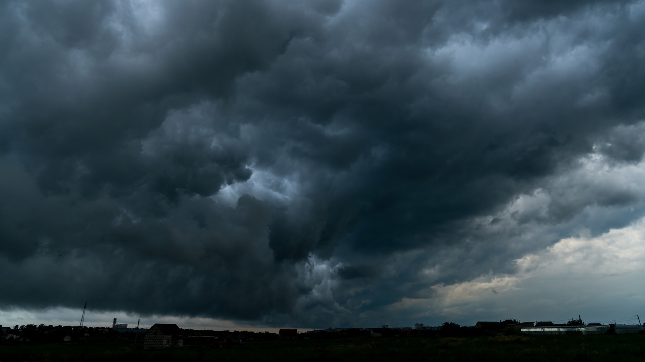
The NWS then reported just before 1 p.m. a tornado watch was issued for those areas until about 7 p.m.
A round of scattered storms is expected to develop after about 4 p.m. Saturday, and these could produce large hail, damaging winds. There is an isolated tornado possible in western Minnesota.
Meteorologist Matt Serwe, meanwhile, reported that after the storms, cooler west winds are expected to push in on Sunday, dropping highs around 50 degrees.
Looking ahead, Serwe said the start of the next work week is expected to get even colder.
Follow the latest weather updates here.
You can find KSTP’s complete severe weather guide here.
Send us your weather photos here.