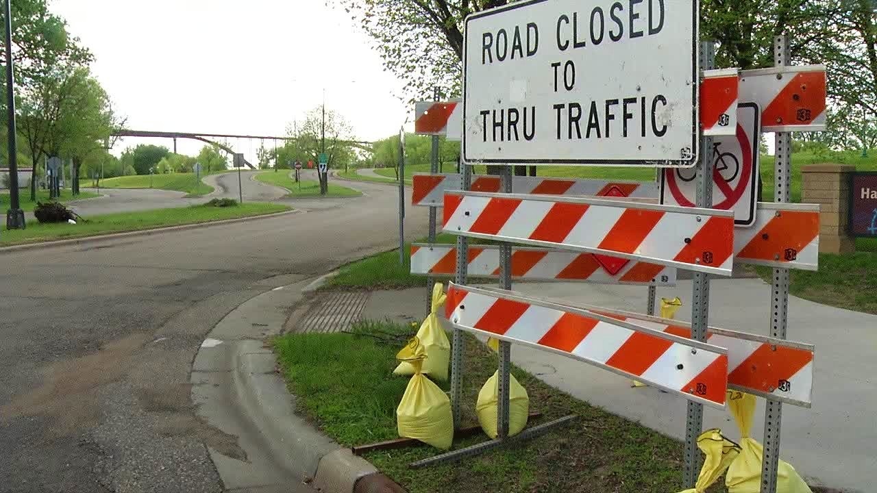
St. Paul closes Water Street in anticipation of flooding

(FILE/KSTP-TV)
The city of St. Paul closed a roadway Friday afternoon in anticipation of flooding.
The city said it temporarily closed Water Street/Lilydale Road between Highway 13 and Plato Boulevard starting at 2 p.m. because of rising water levels on the Mississippi River.
The road is along the south side of the river in St. Paul and will be closed to vehicle, bicycle and pedestrian traffic, officials say.
Several other parkland areas, trails and other facilities in St. Paul have also already closed, including:
- Chestnut Plaza
- City House
- Crosby Farm Regional Park
- Desnoyer Trail
- Fish Hatchery Trail
- Harriet Island Pavilion and public dock
- Hidden Falls Regional Park
- Kelly’s Landing
- Lamberts Landing
- Lilydale Regional Park
- Raspberry Island
- Robert Piram Trail
- Upper Landing
- Victoria Park
- Watergate Marina
The city asks residents to check for closures online before going to any parks or trails, and to follow all signage posted in those areas.
Officials say the closure of Water Street and other areas will remain in place until water levels have receded and conditions are safe for public use.