Evening commute expected to be slow due to snow, icy conditions

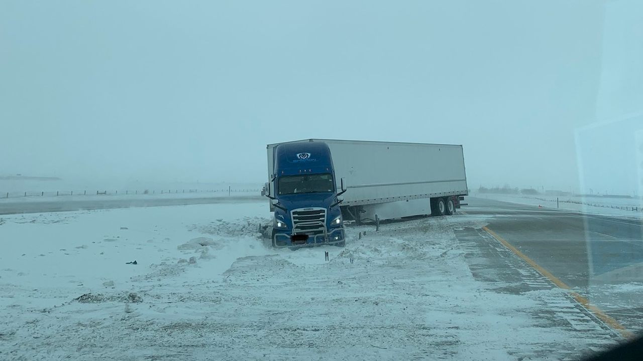
A jack-knifed semi on I-94 near Moorhead on Thursday, February 10. Credit: Minnesota State Patrol
There were reports of vehicles sliding off the road in western Minnesota early Thursday afternoon as a system that is expected to bring snow, ice and rain to the Twin Cities metro area begins to cross the state.
The incoming snow caused multiple schools to close early, including Pelican Rapids, Leaf River/White Pine Academies, and the Minnesota State Community Technical College in Wadena. There will be no after school events at Pelican Rapids.
The Minnesota State Patrol reported there is limited visibility from blowing snow and some slippery spots in west-central Minnesota. State patrol also reported a jackknifed semi on westbound I-94 near Moorhead shortly before 12:30 p.m.
Meteorologist Matt Serwe says snow is likely to start falling around 2-3 p.m. Thursday in the metro area, and is expected to fall steadily to heavily at times through the evening commute until about 7 p.m.
While the Twin Cities area is expected to see an inch or two of snow, areas to the north could see closer to 4 inches.
Afterwards, temperatures will climb above the freezing mark, and the snow will change to light rain. A cold front will move through Friday morning, bringing snow showers and gusty winds.
Radar images showed snow was approaching the St. Cloud area just before 1:30 p.m. Thursday.
CLICK HERE to get your full forecast, and CLICK HERE for the interactive radar.
Remember to take it slow on the roads as they will become slippery during the evening drive time.
CLICK HERE for current road conditions.