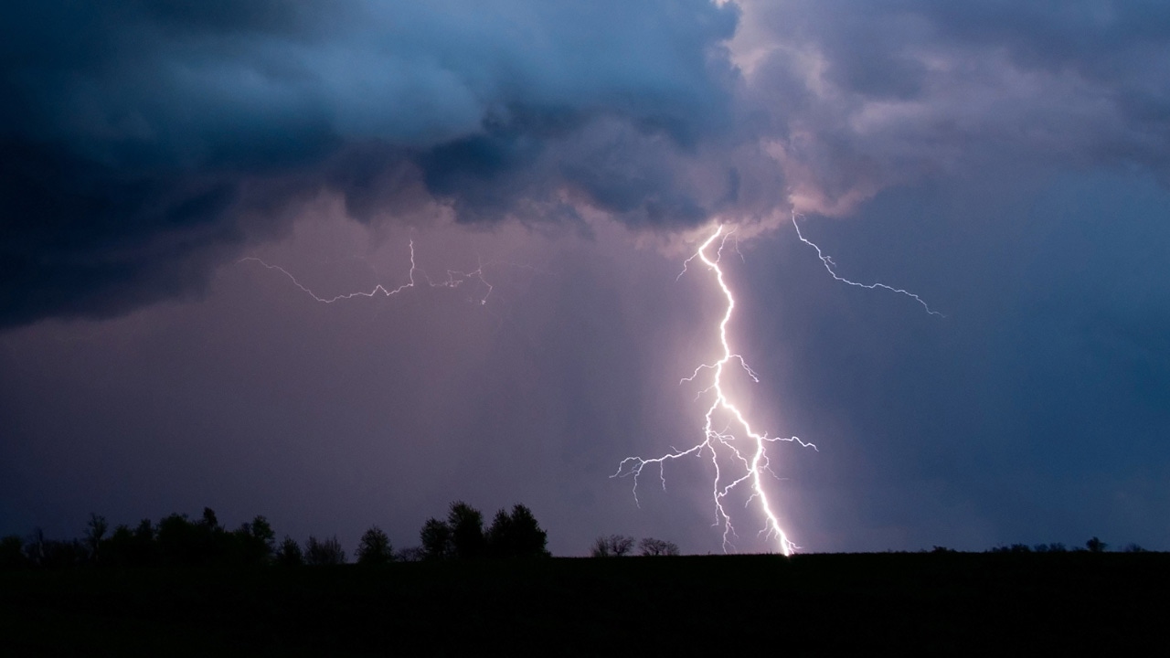
Severe weather possible southeast of Twin Cities during two Wednesday storm fronts
[anvplayer video=”5115414″ station=”998122″]
Morning commuters will likely experience rain as storms move across Minnesota and into Wisconsin Wednesday, 5 EYEWITNESS NEWS meteorologist Matt Serwe says.
According to the National Weather Service, the storms will have the potential to bring large hail across eastern Minnesota and western Wisconsin.
The metro may have more dry time between showers, which will become more scattered in the afternoon.
Later in the day, Serwe says one front southeast of the Twin Cities is expected to be the focal point of large hail, strong winds, heavy rain and potentially an isolated tornado.
Another front to the west will sweep across Minnesota and into Wisconsin in the afternoon, pushing clouds and storms with it.
CLICK HERE to track current weather conditions.
Learn how to prepare yourself for severe weather with this guide.

Wednesday’s temperatures will hang in the 70s, dropping into the 60s overnight with some breeze, Serwe says.
Northern Minnesota may experience some rain through the night and into Thursday.
Meteorologists are also tracking extremely hot temperatures for the upcoming weekend and into next week, with NWS officials saying highs of around 100 are possible Sunday and Monday, with lows being near 80.