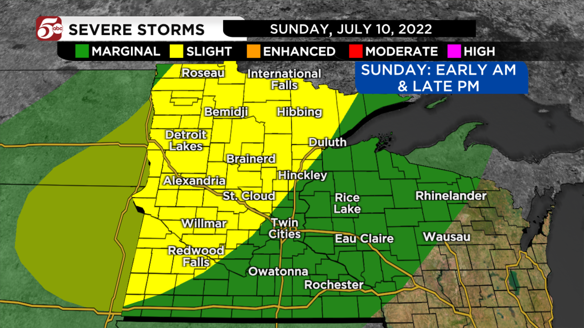
Severe storms are possible in Minnesota on Sunday
After a brief break from humidity and beautiful weather on Saturday, the moisture returns on Sunday and fuels potentially strong storms.
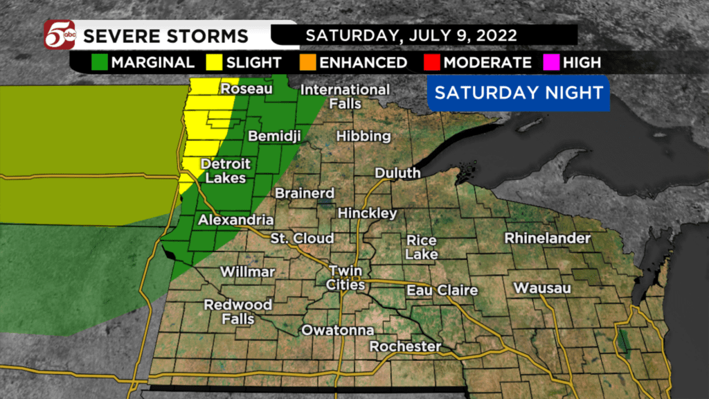
The first round of storms will come out of the Dakotas late Saturday night into Sunday morning. These will mainly stay across northern and northwest Minnesota. Some of the storms could have damaging winds, large hail, and locally heavy rain.

The biggest question with this forecast: How long will these morning storms, last, and how far south and east they move. At this point, the first round should diminish north and west of the Twin Cities by midday. If you are at the cabin this weekend, these storms could wake you up very early Sunday morning!
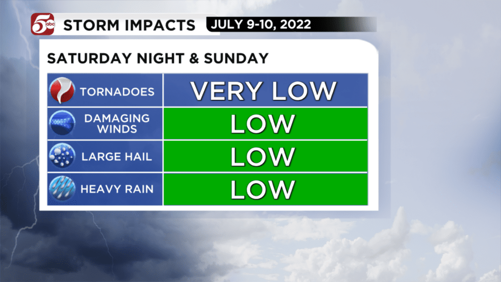
The second round of storms will start late in the afternoon and continue through the evening. Once again, these storms could have large hail, strong winds, and locally heavy rain. These should develop across western and northern Minnesota, and drop south and east toward sunset. In the Twin Cities metro, the best chances of storms will be about 4:00 PM to 10:00 PM. If you were planning on doing some traveling Sunday afternoon or evening, make sure you are staying weather aware!
Minnesota’s Weather Authority will keep you updated all weekend. You can find the latest forecast, severe weather alerts and the interactive radar on the KSTP Mobile app.
CLICK HERE for a severe weather guide.