PHOTOS: NWS confirms 5 metro area tornadoes Saturday, spotters report 1 tornado Sunday night
[anvplayer video=”5131730″ station=”998122″]
Minnesota communities are cleaning up damage left by severe storms this past weekend.
The National Weather Service (NWS) confirmed five tornadoes touched down in the Twin Cities metro area Saturday night, and have yet to confirm at least one possible tornado Sunday night in Kandiyohi County.
Preliminary NWS information says the potential Kandiyohi County tornado was reported by “trained spotters” west of Prinsburg.
5 EYEWITNESS NEWS meteorologist Matt Serwe summarized Saturday night’s tornadoes:
- East St. Paul – A tornado spun up northeast of St. Paul and continued north to the area of Maplewood, leaving tree and structural damage.
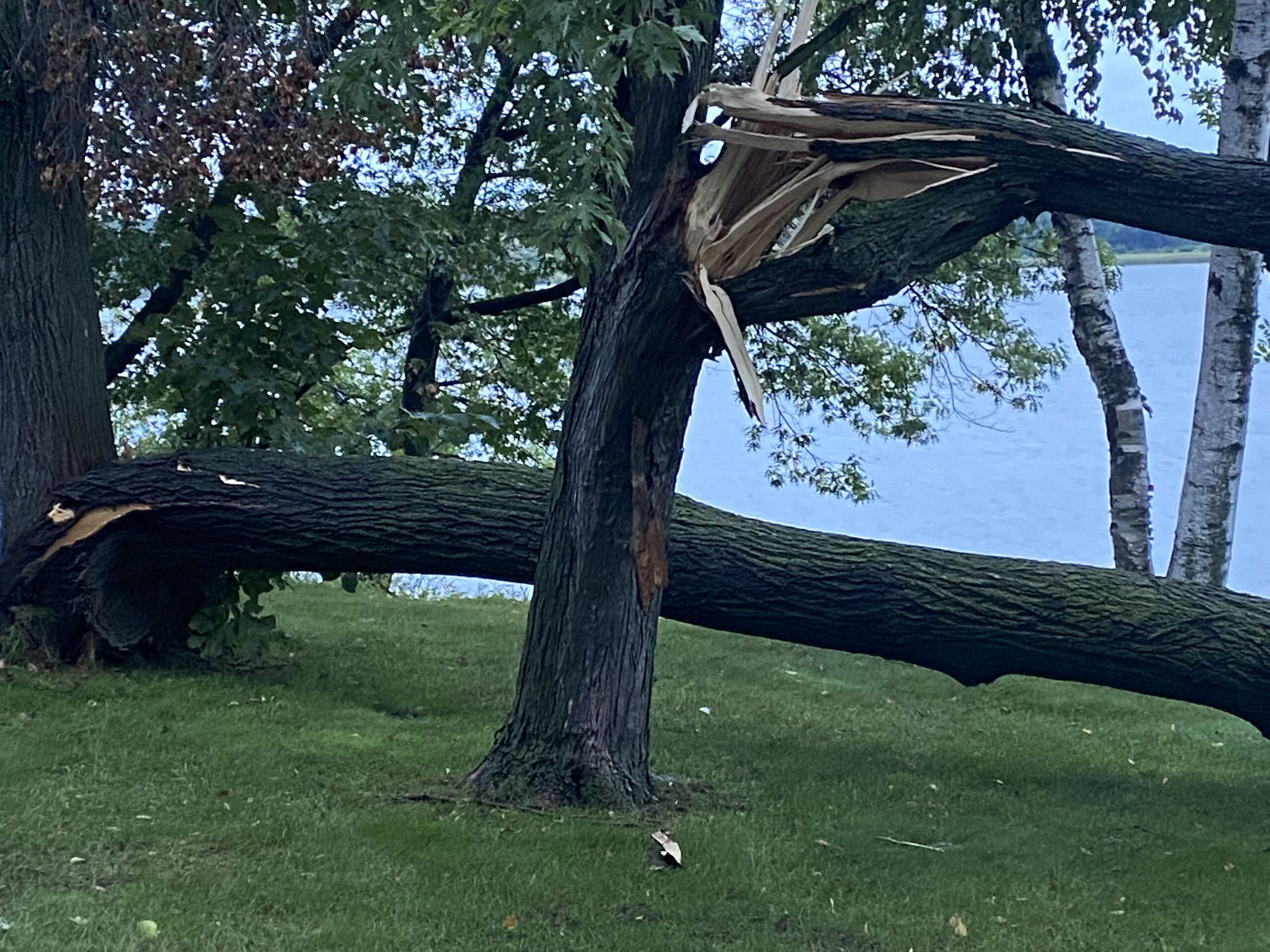
- Burnsville/Crystal Lake – A brief EF0 tornado occurred near Crystal Lake, snapping trees.
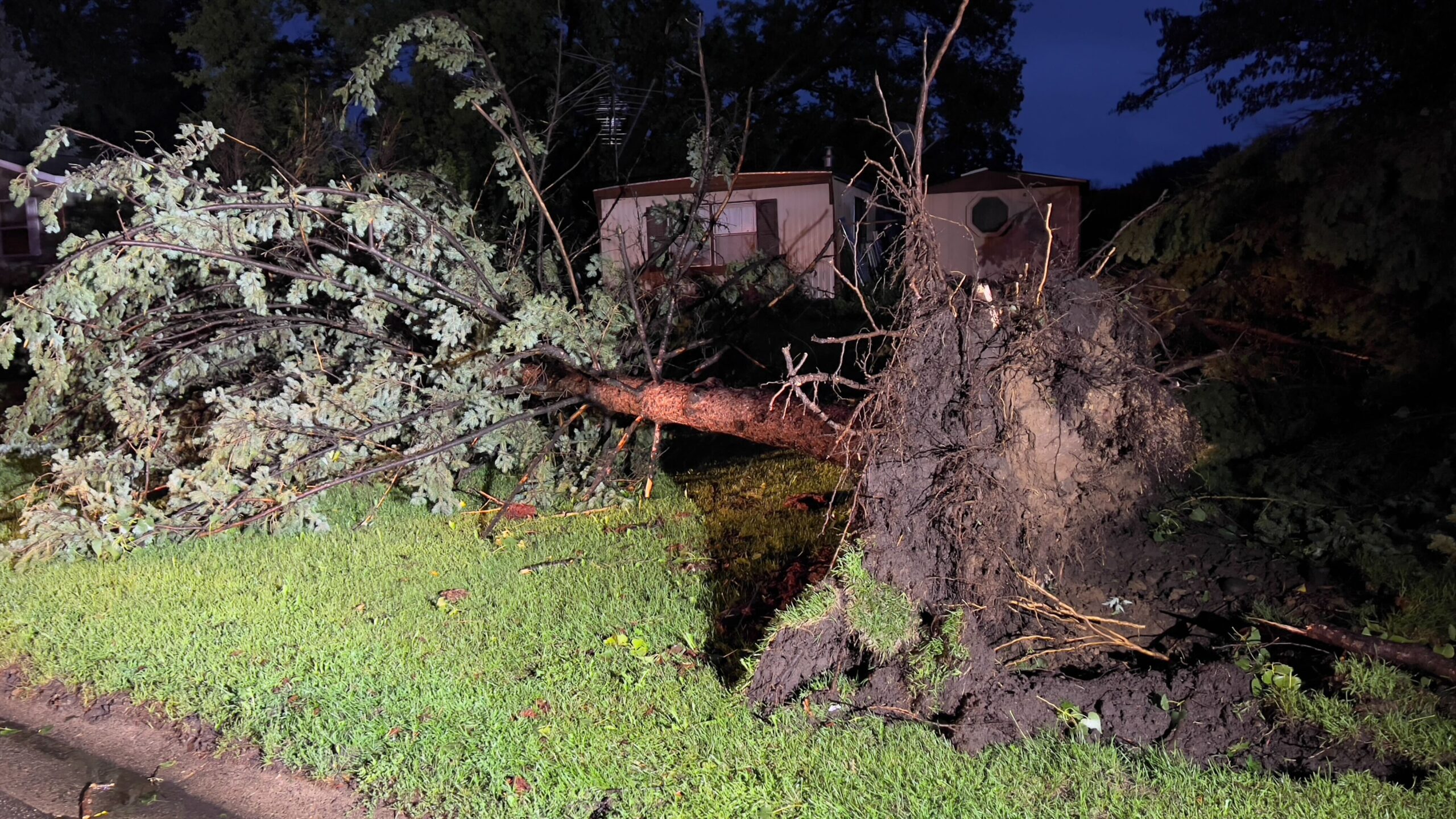
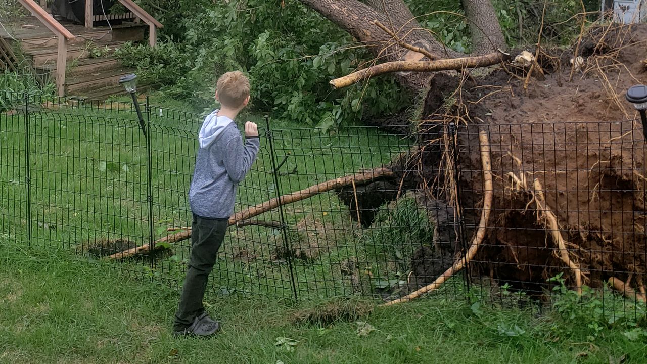
- Apple Valley – A brief tornado occurred in Apple Valley, resulting in structural damage attributed to uprooted trees.
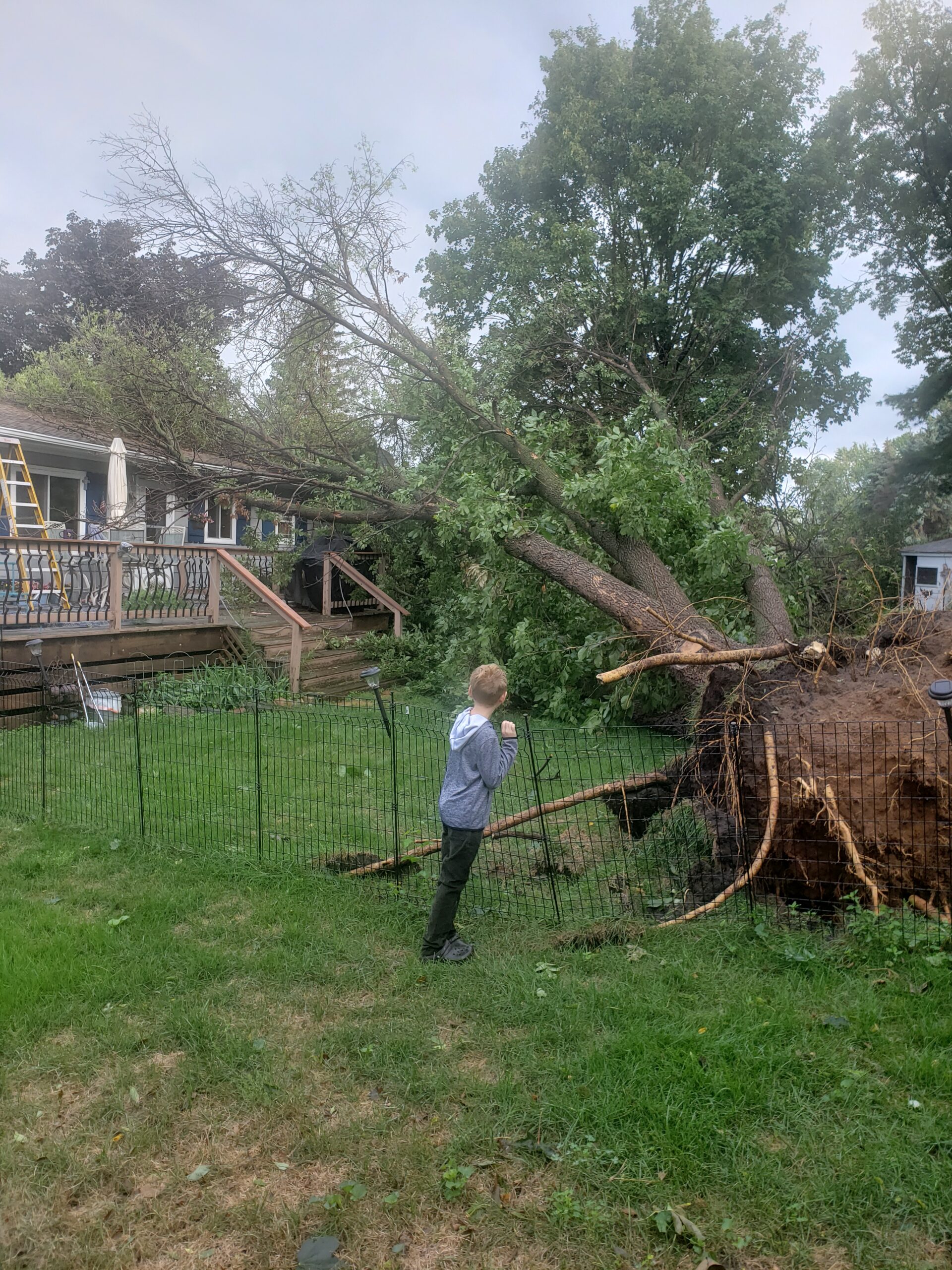
- Eagan – A brief tornado in Eagan produced an area of concentrated tree damage.
- West St. Paul – A brief tornado uprooted or snapped numerous large trees.
Submit your weekend storm damage photos HERE for a chance to be featured in the gallery below.
The KSTP weather team predicts pleasant summer weather for the upcoming week. See current conditions by CLICKING HERE.
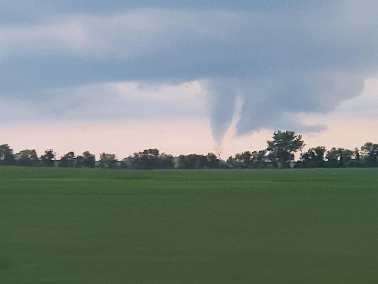
The outline of what appears to be a tornado. Credit: Shawn Labat 
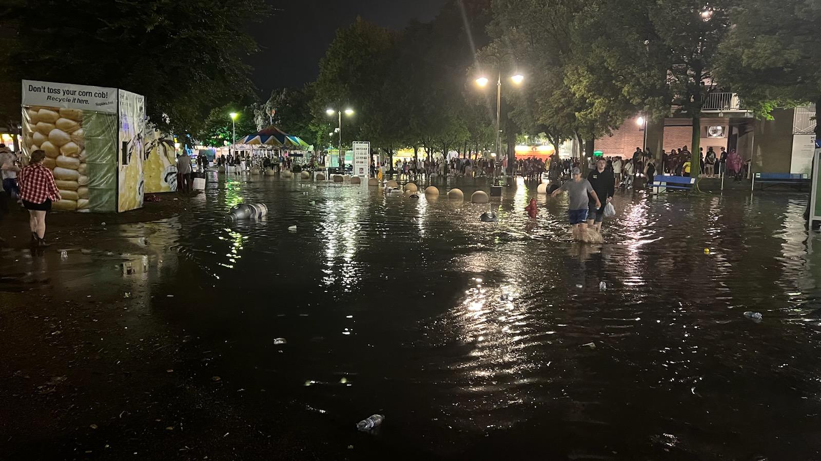
Clouds moved over a lake Sunday night around Willmar. Credit: Vicki VanGerpen Norton Clouds loomed in Lydia Sunday night. Credit: Darryl Volk A tree was uprooted in Apple Valley. (Andrea Lyon/KSTP) The state fairgrounds flooded Saturday night. Credit: Kari Lundberg Trees snapped in Maple Grove Saturday night. Credit: Gary McAllen A large backyard tree was uprooted in Eagan Saturday night. Credit: Dan Gorbunow Lightning in Cottage Grove Sunday night. Credit: Isaac Pavek