Chance for some severe storms later Saturday
[anvplayer video=”5135618″ station=”998122″]
After some overnight showers, more storms are expected Saturday afternoon and evening.
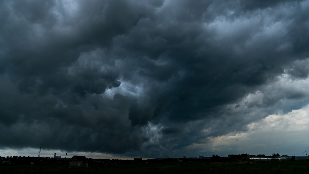
KSTP Meteorologist Jonathan Yuhas says there is a chance some of the storms could become severe Saturday, with an area from Willmar up toward Duluth and west to the border having the best chance for severe storms. However, the rest of the state and northwest Wisconsin are also at a marginal risk for severe weather.
The greatest risk is strong winds, large hail and possibly even tornadoes.
Temperatures Saturday will top out around 80 in the Twin Cities with a mix a sun and clouds expected before more clouds and spotty thunderstorms move in later in the day and in the evening.
The best chance for storms comes after 8 p.m., Yuhas says.
Sunday is also expected to have some thunderstorms in the morning before clearing up. Temps Sunday will reach the mid-70s.
Looking ahead to next week, we’ll have 80s in the Twin Cities to start the week before cooler temps arrive with the start of fall on Thursday.
Stay up to date with the latest weather information at KSTP.com.