Rain likely for Election Day, snow possible by end of workweek
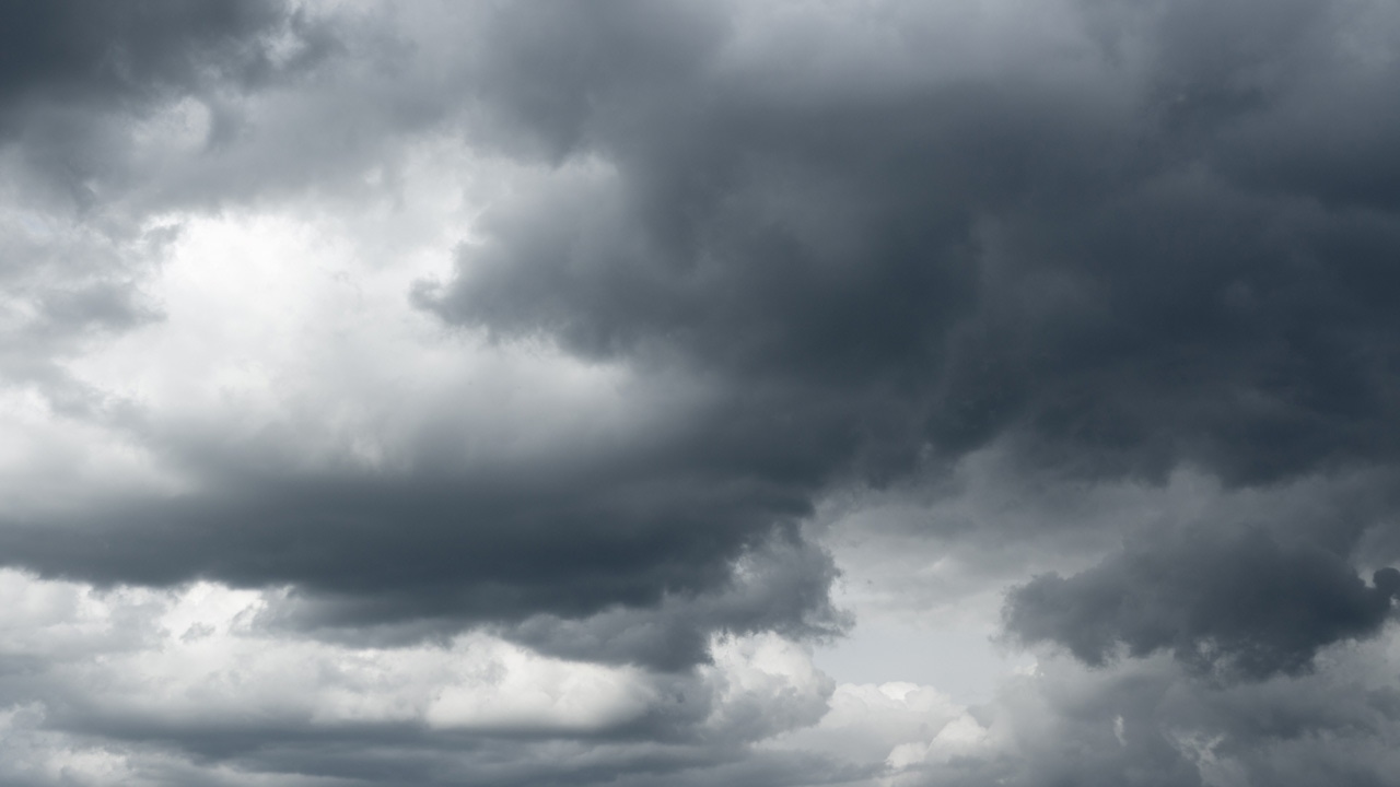
After a windy Sunday and cool temperatures to start the work week, unsettled weather is expected for the duration of the week.
The National Weather Service says wind gusts neared 60 mph at Minneapolis-St. Paul International Airport Sunday, with the top observed wind gust there at 56 mph.
Other locations with gust speeds measured above 50 mph were Alexandria, Eden Prairie, Redwood Falls, Eau Claire, Appleton and Lake Elmo. You can read the full graph of wind speeds by CLICKING HERE.
Looking ahead, 5 EYEWITNESS NEWS Chief Meteorologist Ken Barlow says rain will start to move into Minnesota starting Tuesday, meaning voters should plan to bring an umbrella with them to the polls in case lines stretch outside.
Rain is expected to continue Wednesday and into Thursday. High temperatures are expected to fall from the 60s Wednesday to the mid-50s Thursday before plummeting to the 30s and 20s for the end of the week and start of the weekend.
In addition, snow accumulation is possible Friday in the region. However, the bulk of the snow is currently expected to be north and west of the Twin Cities area, but the storm track could change.
CLICK HERE for the latest forecast.