Powerful storm system to move into Twin Cities area Thursday, expected to stay until Saturday
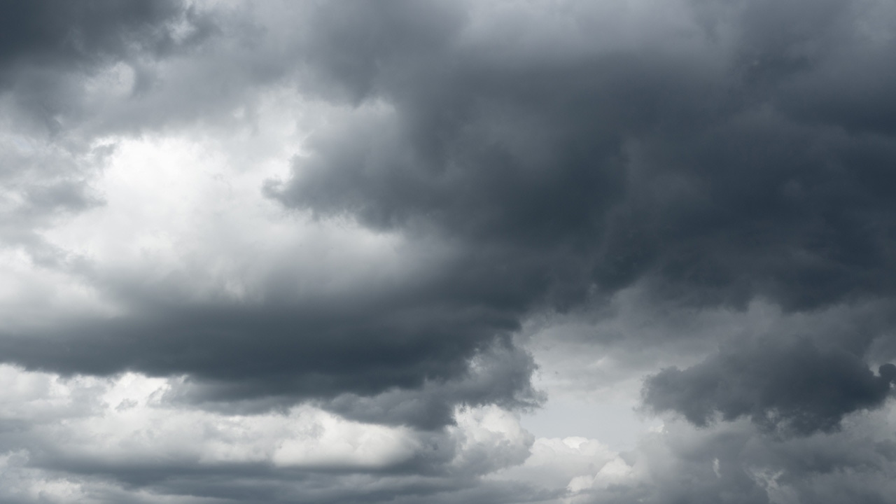
A powerful storm system is moving into the Midwest on Thursday.
5 EYEWITNESS NEWS meteorologist Jonathon Yuhas is predicting all kinds of precipitation, ranging from freezing rain to severe thunderstorms. The Twin Cities area will see freezing rain, snow, sleet, rain and thunderstorms Thursday and into Friday afternoon, with storms possibly producing small hail Friday morning in the Twin Cities.
Rain and heavy snow are then expected Friday night into Saturday morning, with high winds that could potentially cause white-out conditions. The Twin Cities may see six to ten inches of snow, as well as possible power outages Friday night due to the weight of the snow.
In Iowa, severe thunderstorms are likely Friday afternoon, including the possibility of a tornado outbreak, large hail and damaging winds from Mason City to Dubuque.
For a complete look at the radar, visit KSTP’s interactive radar page. You can also find tips to prepare for winter weather by CLICKING HERE.
5 EYEWITNESS NEWS’ weather page offers hour-by-hour weather and updates on the storm.