A couple inches of snow possible in the metro, more to the south and west
[anvplayer video=”5013781″ station=”998122″]
Monday will be windy and there will be periods of rainfall and snowfall throughout the day, according to Chief Meteorologist Ken Barlow.
Barlow said snow will hold off until after 9 a.m. in the Twin Cities, with 1 to 2 inches likely.
Outside of the Twin Cities, Barlow said more snow is expected in Wright, Scott and Dakota counties by Monday night. Barlow said it’s possible up to 6 inches of snowfall could accumulated in those areas.
Meanwhile, the National Weather Service has issued a winter storm warning and winter weather advisory for parts of the state Monday.
Additionally, several schools throughout the state reported delays or closures Monday.

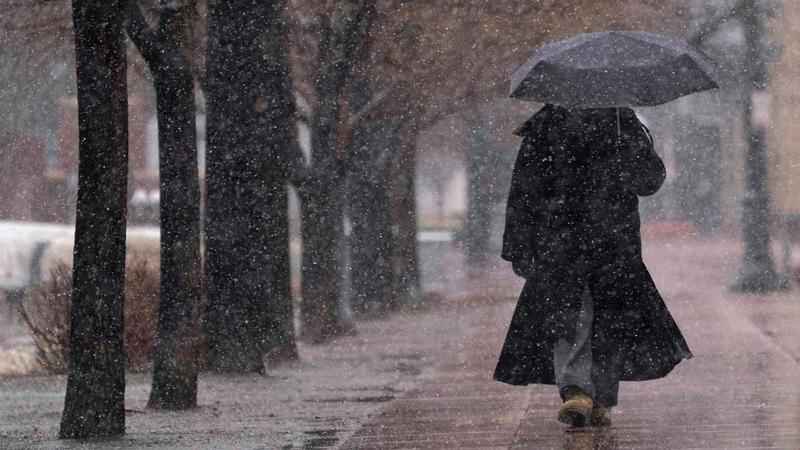
A pedestrian uses an umbrella for cover as a snowstorm sweeps over the intermountain West Saturday, March 13, 2021, in Denver. Chief Meteorologist Ken Barlow says the storm that hit Colorado this past weekend is moving east, causing Monday's rain/snow mix in Minnesota.[AP/ David Zalubowski]
Barlow said a storm that hit Colorado this past weekend is moving east, causing Monday’s rain/snow mix in Minnesota.
Looking ahead, Barlow said sunshine will return by Tuesday afternoon and the rest of the week, so far, is expected to be mild and storm-free.
Snow moving slowly north this morning. Snow will hold off in the Twin Cities until after 9AM with 1" to 2" likely in Minneapolis and St Paul…but much more in Wright, Scott and Dakota Counties by tonight. A few 6" amounts are possible in those areas by tonight. #march in MN! pic.twitter.com/KpnDQId2dC
— ken barlow (@kbarlowkstp) March 15, 2021