Heat index to top 100 degrees, storms expected to return Wednesday
[KSTP/Chris Knoll]
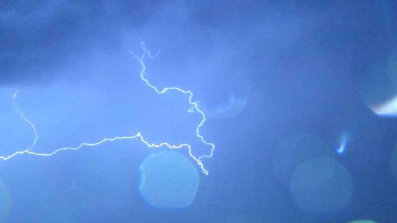
After storms moved through the state Wednesday morning, an excessive heat warning is in effect.
Chief Meteorologist Ken Barlow said heat index values are set to range from 101 to 107 degrees Wednesday afternoon and early evening.
The National Weather Service issued the warning for a series of counties.
The NWS advises those who work or spend significant time outside to take precautions, including take frequent rest breaks in the shade or in air-conditioned places.
The NWS also generally advises drinking plenty of water, staying in air-conditioned places, staying out of the sun, and checking up on relatives and neighbors amid the excessive heat warning. Additionally, children and pets should never be left unattended in vehicles, the NWS states.
The NWS also advises being aware of the signs of heat exhaustion and heatstroke. Symptoms of heatstroke can include anything from a headache to a loss of appetite and feeling sick.
Cooling center locations in Hennepin, Ramsey counties to help during hot days
Meanwhile, Barlow said thunderstorms are expected to return after 5 p.m. and last through 10 p.m. Barlow said some of those storms have the chance of being severe.
KSTP’s complete severe weather coverage