Severe weather possible Thursday, Friday
[anvplayer video=”5117548″ station=”998122″]
Parts of Minnesota have the potential for severe weather Thursday.
Much of central Minnesota has a slight risk of severe thunderstorms, while other areas have a marginal risk of severe weather.
The Twin Cities metro area is part of the marginal risk, as well as areas to the west, such as Redwood Falls and Hutchinson.
Meanwhile, areas to the north and west in a line from Milbank to Willmar, Buffalo and Forest Lake stretching north to Moose Lake, Crosslake and Fergus Falls are in a slight risk. That risk extends to the border of Minnesota with North and South Dakota.
A stretch of northwest Wisconsin is also listed under a marginal risk.
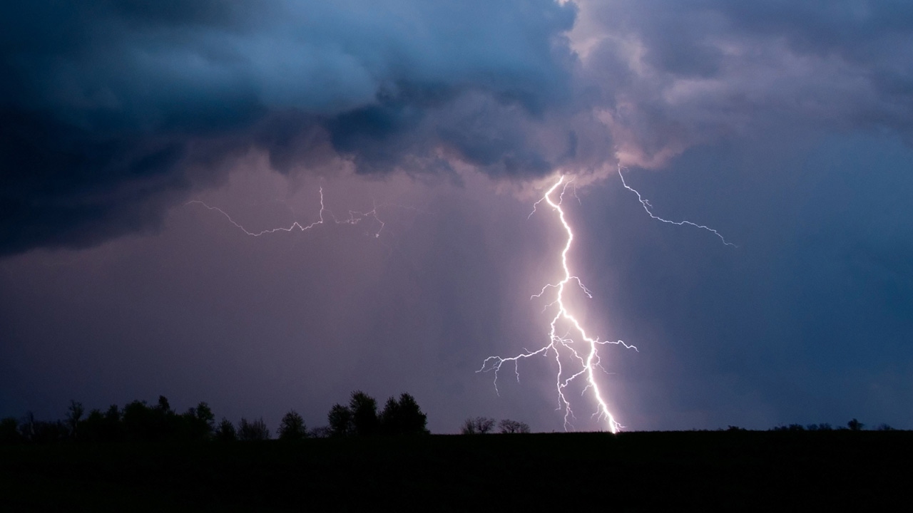
5 EYEWITNESS NEWS Meteorologist Jonathan Yuhas says gusty winds and hail are both possible Thursday afternoon and evening along and west of a line from Duluth to Brainerd to Alexandria.
Meanwhile, the risk of severe weather Friday night is greater and covers more of the state, according to the National Weather Service.
High temperatures Thursday and Friday are expected to reach the low 90s and dew points will be sticky.
CLICK HERE for your latest forecast and HERE for an interactive radar.
Stay with 5 EYEWITNESS NEWS as the system moves through Thursday night.
A list of current weather alerts can be found by CLICKING HERE, while a severe weather guide can be found by CLICKING HERE.